Weather forecasts play an essential role in the daily lives of Americans from the trivial—umbrella or sunscreen—to the critical—evacuate or find shelter. Generating more than $30 billion annually in economic benefits, weather forecasts are relied upon by nearly every sector of the U.S. economy from transportation (route planning) to utilities (pre-positioning resources ahead of a storm) to construction (keeping crews safe and projects on schedule), and much more. Americans check the weather an average of 3.8 times per day and the importance of this information is undeniable.

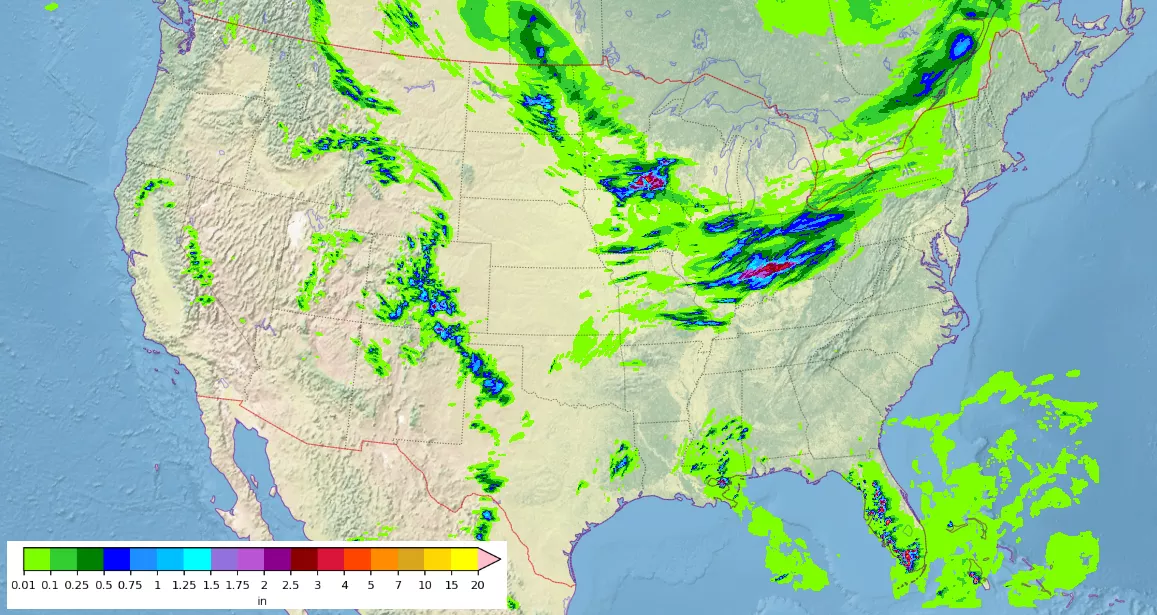
People often look to short-range forecasts to plan their day. Short-range forecasts provide a look into future atmospheric behavior out less than an hour to a couple of days, making them critical during high-impact weather events like hurricanes, floods, and blizzards. But the Earth’s atmosphere is a highly complex and dynamic system and predicting its future state is hard work. To tackle this challenge, the NOAA National Centers for Environmental Prediction (NCEP) runs a suite of powerful numerical weather prediction models to help meteorologists produce more reliable forecasts.
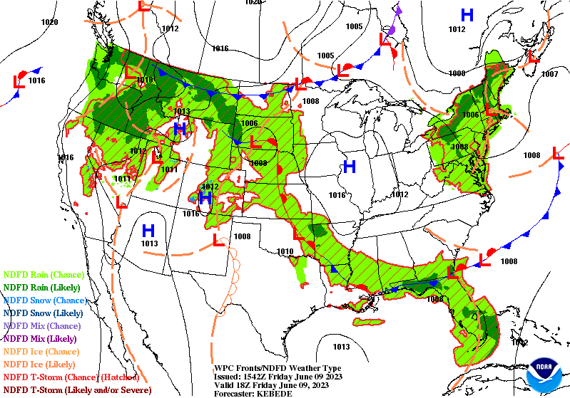
Numerical weather prediction (NWP) models use current weather data as a baseline for predicting future weather. Some of these data come from airborne and surface instruments, but low Earth orbit (LEO) satellites like JPSS satellites provide the most data and have the greatest impact due to their continuous global coverage. Considered the backbone of forecasting, LEO satellites (also called polar-orbiting satellites) supply more than 80% of the data assimilated in NWP models.
At NOAA NCEP, the next generation of forecast modeling systems has been in development for several years. One component, the Rapid Refresh Forecast System, is poised to revolutionize short-term forecasting when it becomes operational in 2024, offering guidance for situations when rapidly updating information is critical, such as aviation and severe weather. This state-of-the-art system relies on satellite radiance data from LEO instruments, like JPSS’ Advanced Technology Microwave Sounder (ATMS) and Cross-track Infrared Sounder (CrIS), to produce more precise initial conditions—the current observed state of the atmosphere, that is, the starting point upon which models build forecasts. These data enhance the Rapid Refresh Forecast System’s ability to capture small-scale weather phenomena and to do so in a timely manner.
For the past few years, Dr. Haidao Lin, a research scientist at the Cooperative Institute for Research in the Atmosphere (CIRA) at Colorado State University and the NOAA Global Systems Laboratory, has been running experiments to test the performance of the Rapid Refresh Forecast System. His goal? To find the optimal formulation of LEO data with the greatest impact on forecasting. An in-depth look at the impact of LEO instruments on forecast models and Dr. Lin’s approach to enhanced LEO radiance data assimilation capabilities for the Rapid Refresh Forecast System will be included in the 2023 JPSS Annual Science Digest, published online each year in January. To learn more about the JPSS Annual Science Digest and read previous issues, visit www.nesdis.noaa.gov/jpss-digest.