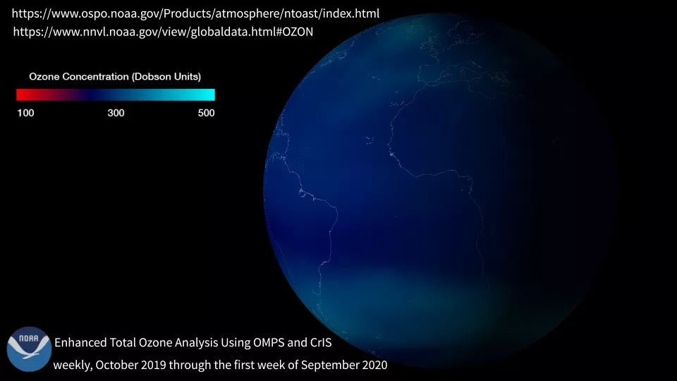
Earth’s ozone layer is a thin part of the atmosphere that absorbs most of the Sun’s ultraviolet (UV) radiation, protecting life beneath from the harmful UV rays. In the 1980s, scientists discovered that the ozone layer was thinning over the South Pole each spring, and referred to these damaged areas as "ozone holes." The Ozone Mapping and Profiler Suite (OMPS) tracks the health of the ozone layer and measures the concentration of ozone and other aerosols in the Earth's atmosphere.
OMPS flies on board the Suomi NPP and NOAA-20 satellites and is scheduled to fly on the JPSS-2, -3 and -4 satellite missions
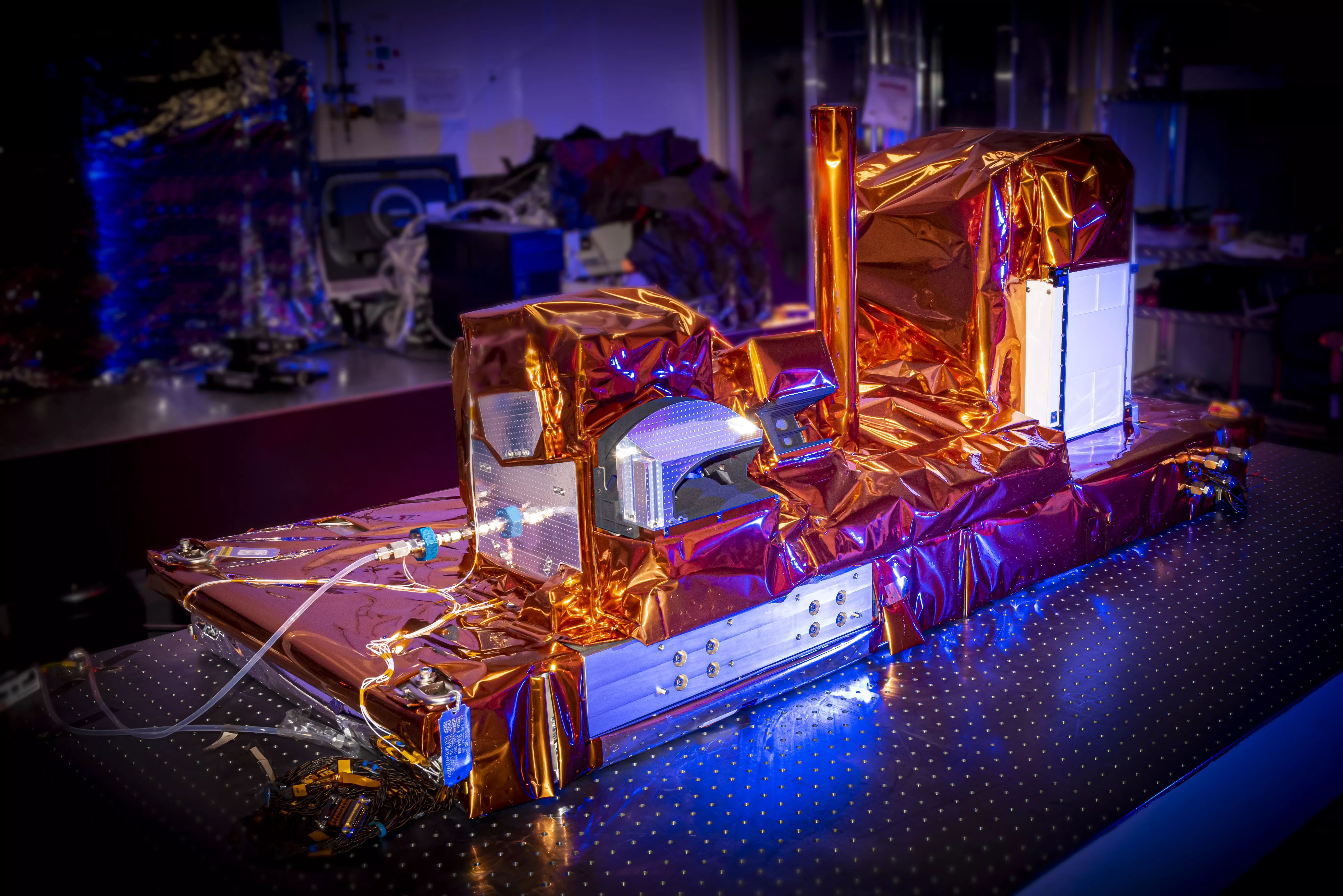
Image of the Ozone Mapping and Profiler Suite (OMPS).
Benefits
- OMPS data are useful, when combined with cloud predictions, to produce better ultraviolet index forecasts, which help the public stay aware of the harms of UV damage.
- Though ozone measurement is the primary purpose of OMPS, it also measures other atmospheric trace species like sulfur dioxide and ash that result from volcanic eruptions. These measurements are helpful in providing aircraft safety warnings.
- Data from OMPS continues three decades of total ozone and ozone profile records. These important data are used by ozone-assessment researchers and policy makers to create global climate models.
- OMPS measurements also fulfill the U.S. treaty obligation to monitor global ozone concentrations for the Montreal Protocol to ensure there are no gaps in coverage.