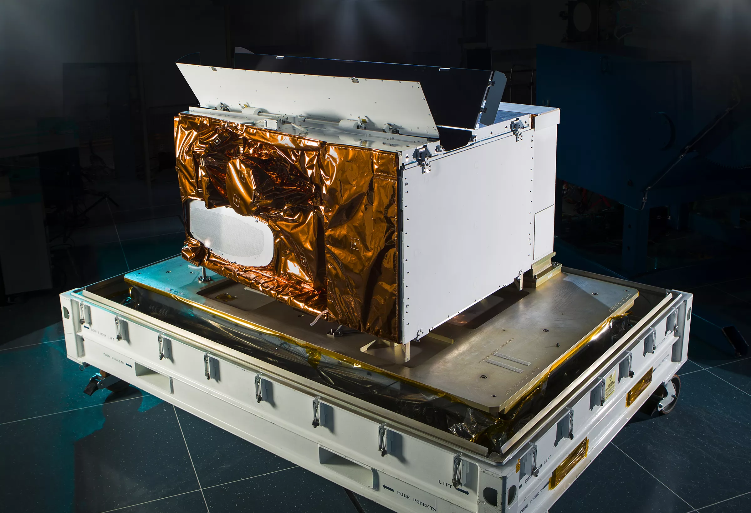
The Visible Infrared Imaging Radiometer Suite (VIIRS) instrument collects visible and infrared images and global observations of the land, atmosphere, cryosphere and oceans.
Currently flying on the Suomi NPP and NOAA-20 satellite missions, VIIRS instruments generate many critical environmental products pertaining to snow and ice cover, clouds, fog, aerosols, fire, smoke plumes, dust, vegetation health, phytoplankton abundance and chlorophyll. VIIRS will also be flown on the JPSS-2, -3 and -4 satellites.
VIIRS features daily imaging capabilities across multiple electromagnetic spectrum bands to collect high-resolution atmospheric imagery and other instrument products, including visible and infrared images of hurricanes and detection of fires, smoke and particles in the atmosphere, such as dust.
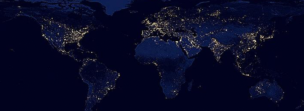
Fun fact: The VIIRS Day/Night Band sensor captured the widely popular and beautiful Earth at Night's Black Marble image.
Benefits
- VIIRS generates products for the operational weather community that improve weather, flooding and storm forecasting abilities, which help to protect life and property.
- The maritime forecasting products of sea ice and ocean nutrients from VIIRS help the maritime and commercial fishing industries—improving vessel routing and making fishery management more efficient.
- The agricultural industry benefits from fire monitoring and vegetation index—along with weather warnings—which are critical to production yield.
- VIIRS produces higher-resolution and more accurate measurements of sea surface temperature, as well as an operational capability for ocean color observations and products. Ocean color is an indicator of water quality supporting a wide range of decisions from fishing to tourism.
- The VIIRS Day/Night Band also provides nighttime imagery, which is essential for Alaska during the winter months.